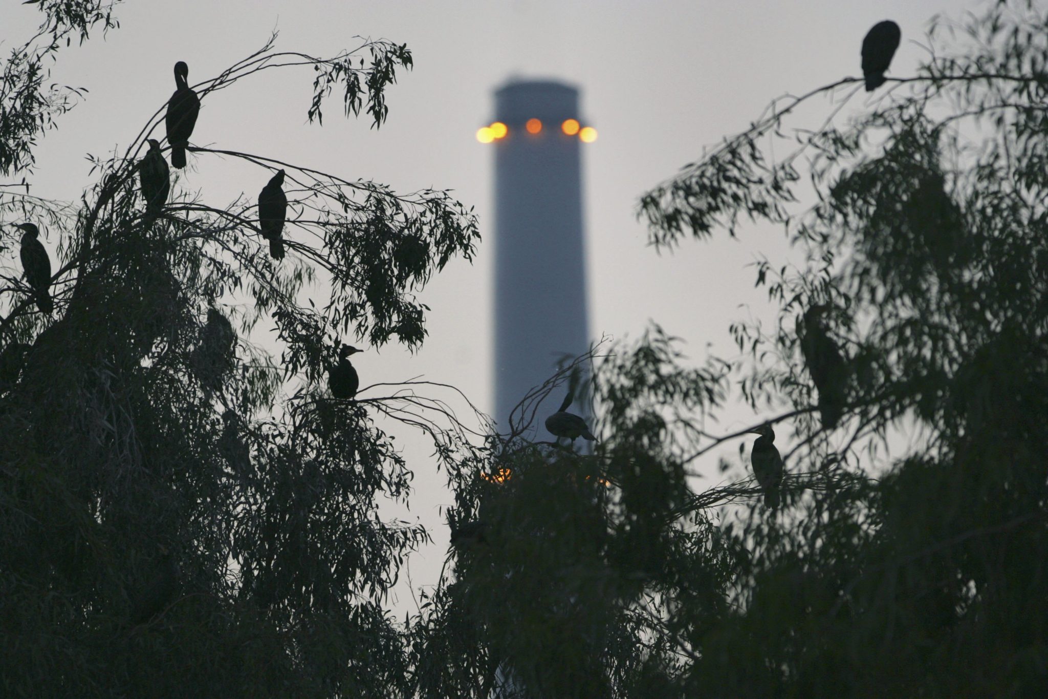
 HADERA, ISRAEL ? DECEMBER 13: Migratory cormorants roost for the night in eucalyptus trees along the banks of a stream on December 13, 2006 near a power station by the northern Israeli city of Hadera, Israel. The nine thousand large aquatic birds in this flock who take refuge in Israel from the harsh winter of their native Ukraine are just a few of the hundreds of millions of birds who fly over the Holy Land during their annual migrations. (Photo by David Silverman/Getty Images)
 In the 1970s, Keren Kayemet LeYisrael – Jewish National Fund (KKL – JNF) began monitoring the health of Israeli forests. Five years ago, they started using satellite imagery for that purpose. Today, researchers at Tel Aviv University are deploying drones to find out if new technology can replace conventional monitoring methods.
Dominik Doehler, ZAVIT* Environment and Science News Agency
Although currently put on hold due to COVID-19, scientists from the Department of Geography and Human Environment at Tel Aviv University, in collaboration with, Keren Kayemet LeYisrael – Jewish National Fund (KKL – JNF), have been working for two years obtaining drone footage of designated forest plots throughout the country.
“Around ten years ago, KKL-JNF decided that in order to manage forests in Israel more efficiently, they need to establish research plots,” says Moshe Mandelmilch, a PhD student at both the Department of Geology at the Porter School of the Environment and Earth Sciences at Tel Aviv University, and the Department of Plants Sciences and Genetics in Agriculture at the Hebrew University of Jerusalem.
Measuring the forest
“To that end, existing forested areas, primarily pine trees, were divided into individual plots, from Metula, the country’s northern-most town, all the way down to the city of Beer Sheba, located on the desert edge,” Mandelmilch explains.
“Some of the plots are very old. There is a plot from a forest in Beit Shemesh near Jerusalem, which was planted during the British Mandate and is close to 100 years old”, he adds.
According to Mandelmilch, KKL-JNF’s initial forest plots were each around 30×30 meters in size, which is equivalent to one LANDSAT satellite pixel (LANDSAT is a NASA satellite that acquires earth images on a regular basis). For the satellite images, four of these 30×30 forest plots were added together to one larger plot, corresponding with four satellite pixels. Inside each of these plots, JNF started measuring only the pine trees and created a database with the aim to return to each plot about every 5-7 years and compare the new measurements with the existing data.
In some of the places, depending on the amount of rain, there are not only pine trees but other types of trees, such as Israeli Oak (Quercus calliprinos) and Mastik Tree (Pistacia lentiscus), which are also being monitored.
“Because we are talking about roughly 100 plots here, it is very hard to do that manually in the field. It requires a lot of workforce and logistics. Therefore, two years ago, KKL-JNF created a research grant with the goal of using remote sensing deploying drones,” says Mandelmilch.
The grant is managed by Professor Eyal Ben-Dor from the Department of Geography at Tel Aviv University and by Dr. Efrat Sheffer from The Robert H. Smith Institute of Plant Sciences and Genetics in Agriculture at the Hebrew University of Jerusalem, which are also both my PhD supervisors in this project.
Remote sensing is a field in science where information of certain objects can be obtained from a distance, using their electromagnetic radiation signature. More specifically, measuring sun radiation that is not absorbed by the object but reflected back into the atmosphere. Using remote sensors mounted on drones is a relatively new way of obtaining data in the open field.
“Basically, what we do is fly our drone over those forest plots, obtain the trees’ spectral data, and then compare it to data that KKL-JNF collected in the field,” Mandelmilch explains.
During the first one and half years of the research, Mandelmilch worked on two forest plots, where he monitored over 40 different plant individuals from four different species and classified the plots according to those species. The aim of the first phase of the research was to establish a protocol of how to use drones for monitoring.
New technology; new problems
One of the issues with drones, as opposed to satellites, is that drones are susceptible to wind, which makes it tricky to achieve the same accuracy. Satellites will always move in the same orbit, passing the same exact spot at the same exact time. Therefore, images taken of the plots are perfectly accurate, and every tree will be photographed from the exact same angle. The scientific term used in this context is “georeferencing,” which “is the name given to the process of geospatially referencing data, and information objects – datasets, text documents, maps, photographs and imagery, etc. – to their proper locations on Earth.”
“I managed to overcome this issue by merging several drone images with computer software. Even though shifting due to wind is always a factor when using drones for remote sensing, our geometric correction is good enough to get accurate material,” says Mandelmilch.
In addition, drones can only take images of smaller areas, while satellites are able to record large areas in one image. Due to rather short battery lives, drones also have a limited flying time, and thus, more flights are usually needed to capture all the footage needed in one forest plot.
Drone advantages
“The outstanding advantage of drone footage is that it is very detailed and has a very high resolution, with pixel sizes of about 3.5 cm. Flying our drone at a height of 50 meters, filming a person on the ground drinking a bottle of coke, you’d be able to read the label,” Mandelmilch says.
According to Mandelmilch, drones have the benefit of being deployable 24 hours a day and can collect data also when it is overcast. In addition, the spatial resolution of drones is better than that of satellites.
“JNF rangers told us that tree height is an important parameter for them, and they wanted us to take measurements. So we went out with the laser gun and measures the height of several tree individuals, and then based on the drone images, we calculated a heightmap. After that, I did some statistical correlation, through which we got some very suitable results,” Mandelmilch says. “And even though the results weren’t perfect due to the course of the flight of the drone, it showed us the importance of using drones as it was the first map to really predict the height of the trees,” he adds.
Future Goals
Although the research is currently put on ice due to the COVID-19 crisis, Mandelmilch says that the first stage of the study has been a success, and the protocol of how to use drones in forest monitoring has been established.
“We are far from being done yet, but we now know that drones have to be used at the height of 100 meters and not 50 meters as initially assumed, due to geometric issues. The best flight time is at noon when the sun is at its peak. Sunny days are also more advantageous, as cloud cover creates more shades on the ground (depending on the scattering of the clouds and their percentage of coverage). We also know that our drone can fly across the forest for a maximum of 35 minutes.”
“Our objective, for now, is to continually improve our protocol,” Mandelmilch adds.
“In the future, I believe this kind of work can be carried out solely by using drones, which would make everything a whole lot easier. The only limitation we see so far is of technological nature. More specifically, the battery life of the drone. However, as technology is constantly advancing, it’s very likely that in the future, drones will replace the conventional monitoring methods entirely.” Mandelmilch concludes.


 More news and opinions than at a Shabbat dinner, right in your inbox.