

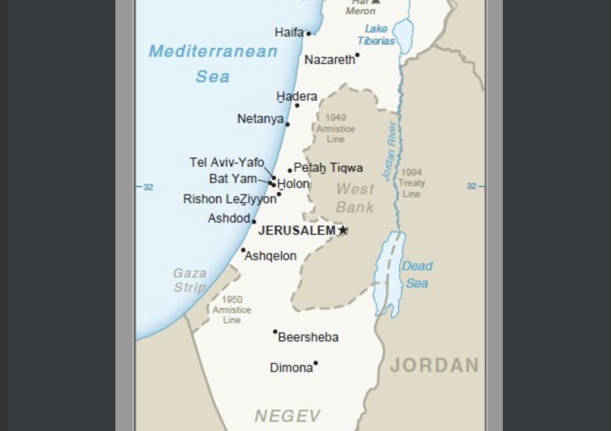
WASHINGTON (JTA) — Official U.S. maps now include the Golan Heights as part of Israel.
Jason Greenblatt, the top White House Middle East peace negotiator, posted a map Tuesday on his Twitter feed.
“Welcome to the newest addition of our international maps system after @POTUS issued a proclamation recognizing Israeli sovereignty over the Golan Heights,” Greenblatt said.
https://twitter.com/jdgreenblatt45/status/1118234058872512518
President Donald Trump in March recognized Israel’s sovereignty over the strategic plateau. Israel captured the heights from Syria in 1967 and annexed the area in 1981.
The Trump administration also has mostly ended the practice of referring to the West Bank as “occupied” and recognized Jerusalem as Israel’s capital, later moving its embassy there.